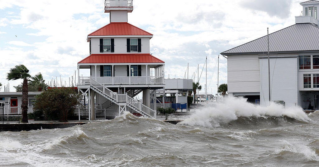
Isaias weakens to post-tropical cyclone
Isaias weakened early Saturday morning to a post-tropical cyclone after making landfall in the northern Gulf Coast as a Category 2 hurricane.
As of 2 a.m. Eastern Time Saturday, it had maximum sustained winds of 65 miles per hour and was centered about 55 miles southwest of Montgomery, Alabama, according to the National Hurricane Center. It was moving north at 20 mph.
Flooding, damage reported in Florida Panhandle
Hurricane Isaias made landfall near Destin, Florida, at around 8 p.m. Eastern Time, according to the Miami-based National Hurricane Center.
Roads in Destin were flooded, while in nearby Pensacola, police warned residents to stay off the streets because of debris across roadways.
While the extent of the damage was not immediately known, many area residents posted pictures online of downed trees and power lines, and one video posted to social media showed a roof being ripped off of an inn in Pensacola.
Some Florida Panhandle counties temporarily suspended emergency response due to dangerous conditions.
More than 697,000 customers were without power across Florida, Alabama, and Georgia, according to utility tracker PowerOutage.us.
CBS/AP
Trump says White House is tracking storm “very closely”
President Trump late Friday night told reporters that White House officials were tracking Hurricane Isaias “very closely.”
Earlier in the day, the White House approved federal emergency declarations for Florida and Alabama ahead of its arrival.
Isaias had earlier in the day briefly strengthened into a Category 3 storm, which is defined as a major hurricane, before weakening to a Category 2 when it made landfall in the U.S. It then weakened quickly to a Category 1. It was still forecast to pack a punch as it moved inland, producing life-threatening storm surges and gusty winds.
It was forecast to bring 4 to 8 inches of rain across southern Alabama, southwest Georgia, the Florida Panhandle and Big Bend, with totals as high as 15 inches, according to the National Hurricane Center.
Other parts of the Southeast could see anywhere from 2 to 10 inches of rain.
Hurricane warning in effect for Alabama, Florida
A hurricane warning was in effect from the Mississippi/Alabama border to the Bay/Gulf County Line in Florida as Hurricane Isaias slams the Southeast.
A tropical storm warning was in place from east of the Bay/Gulf County Line to the Aucilla River in Florida, while a storm surge warning was in place from Dauphin Island, Alabama, to the mouth of the Suwannee River in Florida.
Even though the Miami-based National Hurricane Center said Isaias would likely downgrade to a post-tropical storm by Saturday, it was still set to deliver drenching rains and powerful winds to the region.
The center of the storm was forecast to move across Alabama and into the Tennessee Valley on Saturday and Sunday.
Streets empty in normally bustling Alabama tourist community
Tens of thousands of people across the northern Gulf Coast were placed under evacuation orders ahead of the arrival of Hurricane Isaias.
In Orange Beach, Alabama, streets and beaches were empty Friday heading into what was supposed to be a busy weekend for tourists. The gridlock on area roadways caused by fleeing residents over the past 48 hours was gone, and the evacuation window had closed, officials said, because winds were too strong.
The few residents left were trying to make the best of it. Christi Woods manages a wine store in Orange Beach, one of the only businesses that was still open Friday.
“We do take precautions, I mean, we’re kind of in the flood zone,” Woods said.
“Folks who are in the path of this storm should know, this is not a random tropical system,” Florida Gov. Ron DeSantis said in a news conference Friday. “It’s a major hurricane. And it’s going to potentially do a lot of damage.”