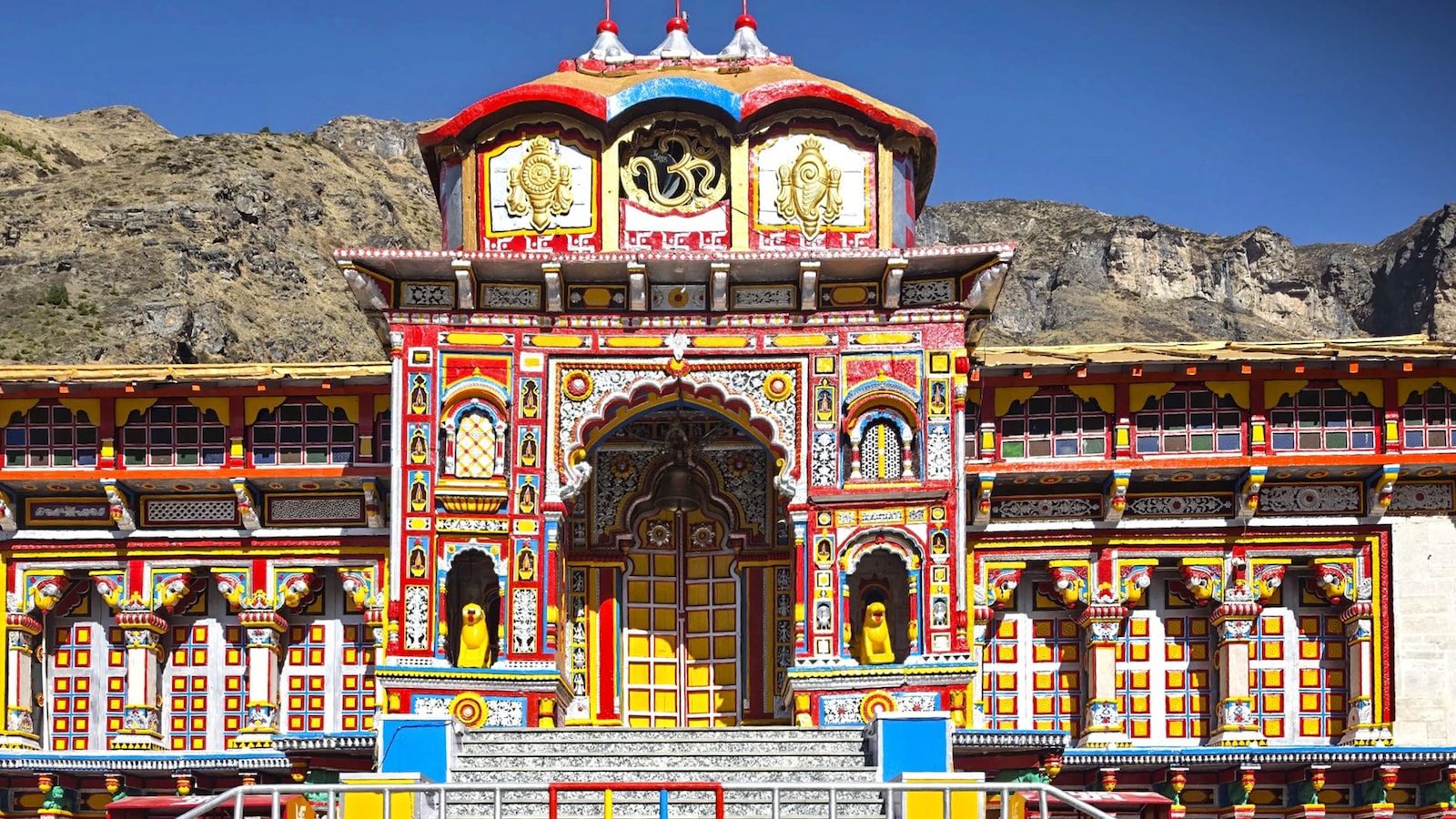
A scientific assessment has flagged the risk of ice avalanches from hanging glaciers above Badrinath, warning that nearly 400 buildings and critical infrastructure could be exposed if ice breaks off and flows down the mountain slopes.
The study, titled ‘Vulnerability assessment of hanging-glacier avalanches in Badrinath Township, Central Himalayas, India’, examined three hanging glaciers overlooking the Himalayan town to assess the possibility of ice break-offs and their potential impact on the settlement. Researchers modelled how avalanches originating from these locations could travel downhill and affect buildings, transportation infrastructure and other assets.
ALSO READ | ‘Water Bomb In The Making’: Expert Slams China’s Dam Mission As Nepal Floods Kills Over 70
Also Read | Layoffs Are Rising In Tech, But These Skills Are Helping People Unlock Better Pay
The researchers used remote-sensing data and numerical modelling to assess potential ice-release events and predict how resulting avalanches could move.
They employed the Rapid Mass Movement Simulation (RAMMS) model to simulate avalanche behaviour under three conditions – low, medium and high mobility. The scenarios were created by varying friction parameters within ranges determined by terrain characteristics and elevation.
The findings indicate that avalanche movement is primarily influenced by the volume of ice released, the glacier’s slope and the nature of the downstream terrain. Larger ice releases and steeper slopes generally result in stronger flows and longer runout distances.
Which Area Of Badrinath Faces The Greatest Risk?
Of the three locations examined, Site 2 emerged as the most hazardous, particularly under the high-mobility scenario.
An avalanche originating from this site could potentially expose around 398 buildings, 2.66 kilometres of transportation infrastructure, 3.87 hectares of agricultural land and 15.57 hectares of forest cover.
The potential impact zone also includes critical facilities such as a helipad and parking areas, highlighting the possible risks to residents, pilgrims and visitors.
What Determines How Far An Avalanche Travels?
The researchers found that changing avalanche mobility produced relatively limited differences in the simulated outcomes.
Across the three sites, the shift from low to high mobility altered maximum flow height by 2.3-6.7%, pressure by 2.9-3.8%, deposition by 0.9-7.4% and velocity by 1.3-1.8%.
The study also highlights that the distance travelled by an avalanche is not determined by the volume of ice released alone. The shape of mountain channels and downstream topography can significantly influence its movement, allowing even comparatively smaller ice releases to travel considerable distances.
ALSO READ | Who Is Nirmal Purja? Famous Mountaineer Nimsdai Missing After Avalanche In Pakistan
Study Calls For Early Warning Systems, Better Planning
The researchers have called for detailed, site-specific hazard assessments, effective early warning systems, improved land-use planning and greater risk awareness among local communities.
The findings are particularly significant given Badrinath’s importance as one of India’s major Hindu pilgrimage destinations, attracting large numbers of visitors during the annual pilgrimage season.
The study stresses the need to factor glacier-related hazards into infrastructure planning and disaster preparedness to reduce risks in vulnerable Himalayan settlements.
Essential Business Intelligence,
Sharp Market Insights,
Practical Personal Finance Advice, Daily Fuel, Gold and Silver Prices and Latest Stories — On NDTV Profit.